You can also view & search for photos on a map on my other website, lakes-of-michigan.com
Silver Lake near Rockford
Located between Rockford and Cannonsburg, Silver Lake is about 12 miles northeast of Grand Rapids in Kent County in Michigan's lower peninsula. This photo was taken north of the lake on a summer day.
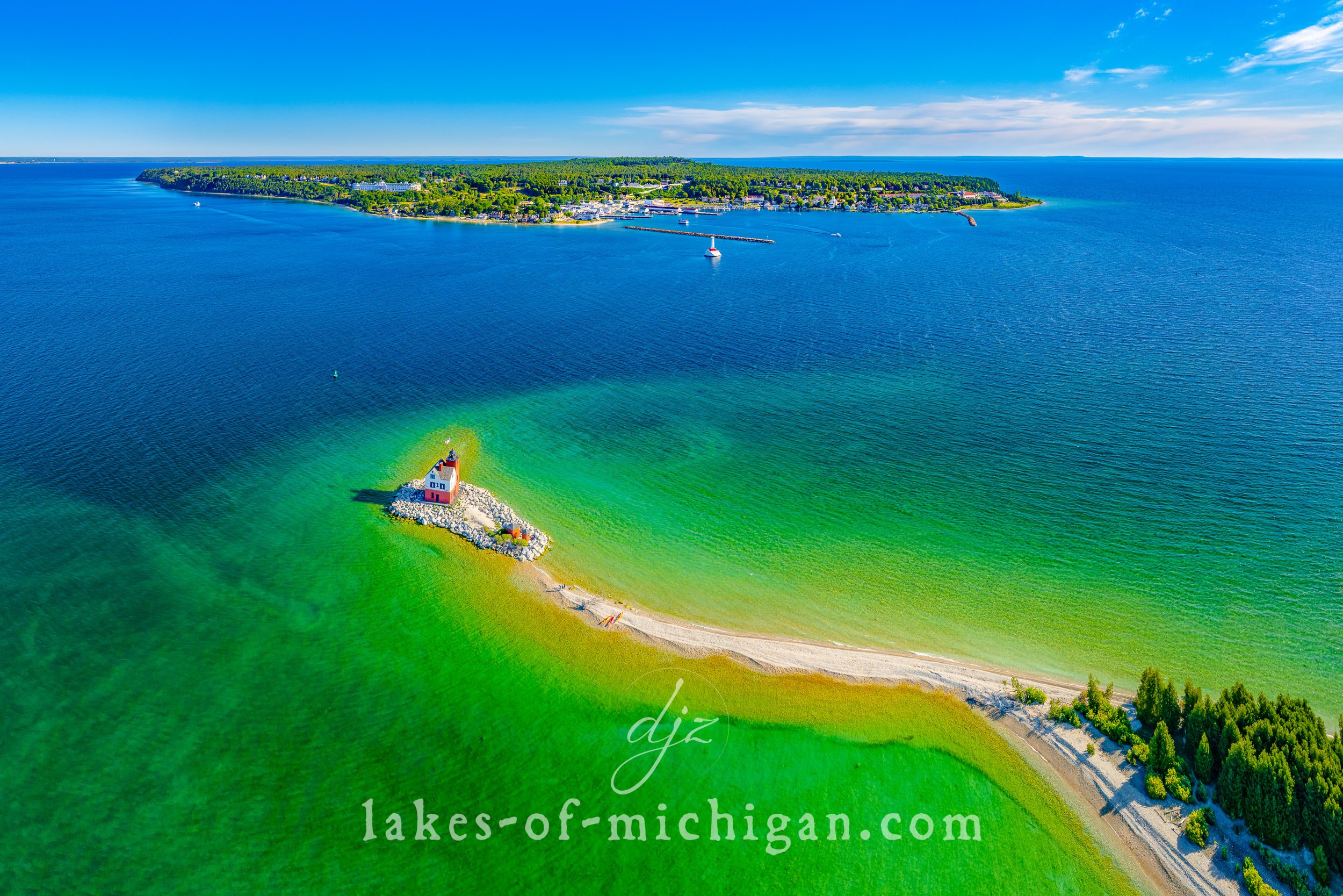
Round Island Lighthouse near Mackinac Island
The Round Island Lighthouse is located off the northwest tip of Round Island, less than a mile south of Mackinac Island. This page features aerial photos of the lighthouse.
Rogers Dam Pond near Big Rapids
Rogers Dam is located near U.S. Highway 131 between Big Rapids and Stanwood in Mecosta County in Michigan's lower peninsula. This page features aerial photos of the dam and pond.
Reeds Lake near Grand Rapids
Reeds Lake is located in East Grand Rapids, about 3 miles east of downtown Grand Rapids in Michigan's lower peninsula. This page features aerial photos of the lake.
Sleeping Bear Dunes National Lakeshore
Sleeping Bear Dunes National Lakeshore stretches from near Crystal Lake (near Beulah & Frankfort) north past Empire and Glen Arbor and includes the North and South Manitou Islands. This page features aerial and ground-level photos that feature different areas of Sleeping Bear Dunes.
Portage Lake near Onekama
Located near Onekama, Portage Lake is north of Manistee and South of Frankfort on the shores of Manistee County in Michigan's lower peninsula. This page features aerial photos of the lake.
Point Betsie Lighthouse near Frankfort
The Point Betsie Lighthouse is located a few miles north of Frankfort along the shores of Lake Michigan. This page features aerial photos of the Point Betsie Lighthouse with the surrounding shoreline.
Pine Lake near Pontiac
Pine Lake is located southwest of Pontiac in Oakland County in Michigan's lower peninsula. This page features aerial photos of the lake.
Pine Lake near Plainwell
Pine Lake is located West of Delton and Northeast of Plainwell in Barry County in Michigan's lower peninsula. This page features aerial photos of the lake.
Palmer Lake near Colon
Palmer Lake is located near Colon about halfway between Three Rivers and Coldwater in St. Joseph County in Michigan's lower peninsula. This page features aerial photos of the lake.
Otsego Lake near Gaylord
Otsego Lake is about 1 mile south of Gaylord on to the west of I-75 in Otsego County in Michigan's lower peninsula. This page features aerial photos of the lake.
Orchard Lake near Pontiac
Orchard Lake is located southwest of Pontiac in Oakland County in Michigan's lower peninsula. This page features aerial photos of the lake.
Myers Lake near Rockford
Located near Rockford, Myers Lake is about 15 miles northeast of Grand Rapids in Michigan's lower peninsula. This page features aerial photos of the lake.
Muskegon Lake near Muskegon
Muskegon Lake is located near Muskegon in Muskegon County in Michigan's lower peninsula, and connects Bear Lake to Lake Michigan. This page features aerial photos of the lake.
Murray Lake near Lowell
Murray Lake is located near Alton, north of Lowell and southwest of Belding in Kent County in Michigan's lower peninsula. This page features aerial photos of the lake.
Mullett Lake near Cheboygan
Situated between Cheboygan and Indian River, Mullett Lake is about 20 miles south of the Mackinac Bridge at the north end of Michigan's lower peninsula. This page features aerial photos of the lake.
Morrison Lake near Saranac
Morrison Lake is located south of Saranac and northwest of Lake Odessa, between Lansing and Grand Rapids in Ionia County in Michigan's lower peninsula. This page features aerial photos of the lake.
Maple Lake near Paw Paw
Maple Lake is located in the city of Paw Paw about 15 miles west of Kalamazoo in Van Buren County in Michigan's lower peninsula. This page features aerial photos of the lake.
Magician Lake near Dowagiac
Located between Dowagiac and Coloma, Magician Lake is about 15 miles east of St. Joseph in Van Buren and Cass Counties in Michigan's lower peninsula. This page features aerial photos of the lake.


