You can also view & search for photos on a map on my other website, lakes-of-michigan.com
White Lake near Whitehall
White Lake is situated between Whitehall and Wabaningo, about 10 miles north of Muskegon on the western shores of Muskegon County in Michigan's lower peninsula. This page features aerial photos of the lake.
St Joseph North Pier Inner and Outer Lighthouses
The St. Joseph North Pier Inner and Outer Lighthouses sit on the north side of the St. Joseph River channel along the shores of Lake Michigan. This page features aerial photos, the lighthouses at sunset, and with the moon at night.
Sleeping Bear Dunes National Lakeshore
Sleeping Bear Dunes National Lakeshore stretches from near Crystal Lake (near Beulah & Frankfort) north past Empire and Glen Arbor and includes the North and South Manitou Islands. This page features aerial and ground-level photos that feature different areas of Sleeping Bear Dunes.
Point Betsie Lighthouse near Frankfort
The Point Betsie Lighthouse is located a few miles north of Frankfort along the shores of Lake Michigan. This page features aerial photos of the Point Betsie Lighthouse with the surrounding shoreline.
Ludington Breakwater Lighthouse
The Ludington North Breakwater Lighthouse sits at the end of the 2,400+ foot north pier in Ludington overlooking the waters of Lake Michigan. This gallery features the Ludington Lighthouse with the setting moon, sunsets, as well as aerial photos.
Little Sable Point Lighthouse
The Little Sable Point Lighthouse stands prominently on the curved shoreline that juts out into the turquoise waters of Lake Michigan near the Silver Lake State Park on the western shores of Michigan's lower peninsula. This page features the lighthouse photographed with the Milky Way at night and aerial photos of the lighthouse.
Leland - “Fish Town”
Also known as "Fish Town," Leland is located on the western shores of the Leelanau Peninsula in Leelanau County. This page features aerial photos of the Leland area.
Lake Macatawa near Holland
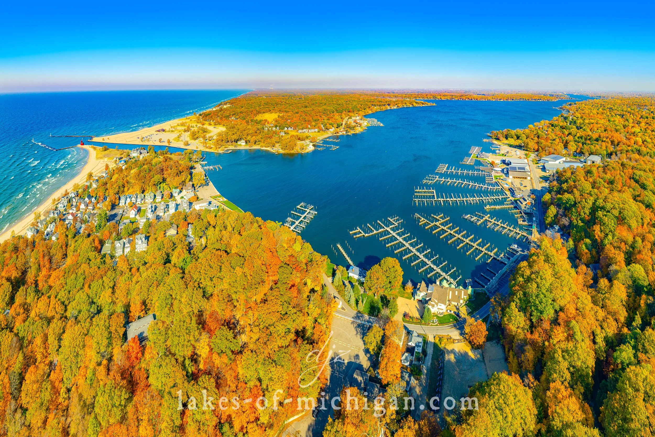
Lake Macatawa is located near Holland in Ottawa County on the southwest shores of Michigan's lower peninsula. This page features aerial photos of the lake.
Grand Traverse Bay
Grand Traverse Bay is located along the shores of Leelanau, Grand Traverse, and Antrim Counties in Michigan's lower peninsula. Divided into the East and West Arm by the Old Mission Peninsula, Grand Traverse Bay is around 30 miles long and 10 miles wide (give or take). Some of the towns and cities within the bay include Traverse City, Northport, Omena, Peshawbestown, Suttons Bay, Old Mission, and Elk Rapids. This gallery features aerial photos of the Grand Traverse Bay region.
Frankfort North Breakwater Lighthouse
The Frankfort North Breakwater Lighthouse sits at the end of the 1700+ foot pier overlooking the beautiful turquoise waters of Lake Michigan. This page features aerial photos and photos of the Frankfort Lighthouse at sunset and at night with long exposures of boat light trails.
Fisherman's Island State Park near Charlevoix
Fisherman's Island State Park is located about 5 miles southwest of Charlevoix along the northwest shores of Charlevoix County in Michigan's lower peninsula. The park is over 2,600 acres with long stretches of undeveloped shoreline along Lake Michigan. This page features aerial photos of the park.
Empire Beach with Robert H Manning Memorial Lighthouse
Empire Beach is located near the village of Empire about 7 miles southwest of Glen Arbor on the shores of Lake Michigan in Leelanau County in Michigan's lower peninsula. This aerial photo was taken on a summer evening facing north. This page features aerial photos of the beach.
Charlevoix South Pierhead Lighthouse
The Charlevoix South Pierhead Lighthouse is located on the south side of the Round Lake Channel in Charlevoix, Michigan. This page features long exposures of the lighthouse after sunset with boat lights, and aerial photos of the Charlevoix waterfront.


